Day trip
A Blue Mountains day trip from Sydney with a realistic scope
The Blue Mountains are accessible from Sydney, but the region is not one attraction. A sound day trip selects one town or walking area and treats alerts and weather as route decisions.
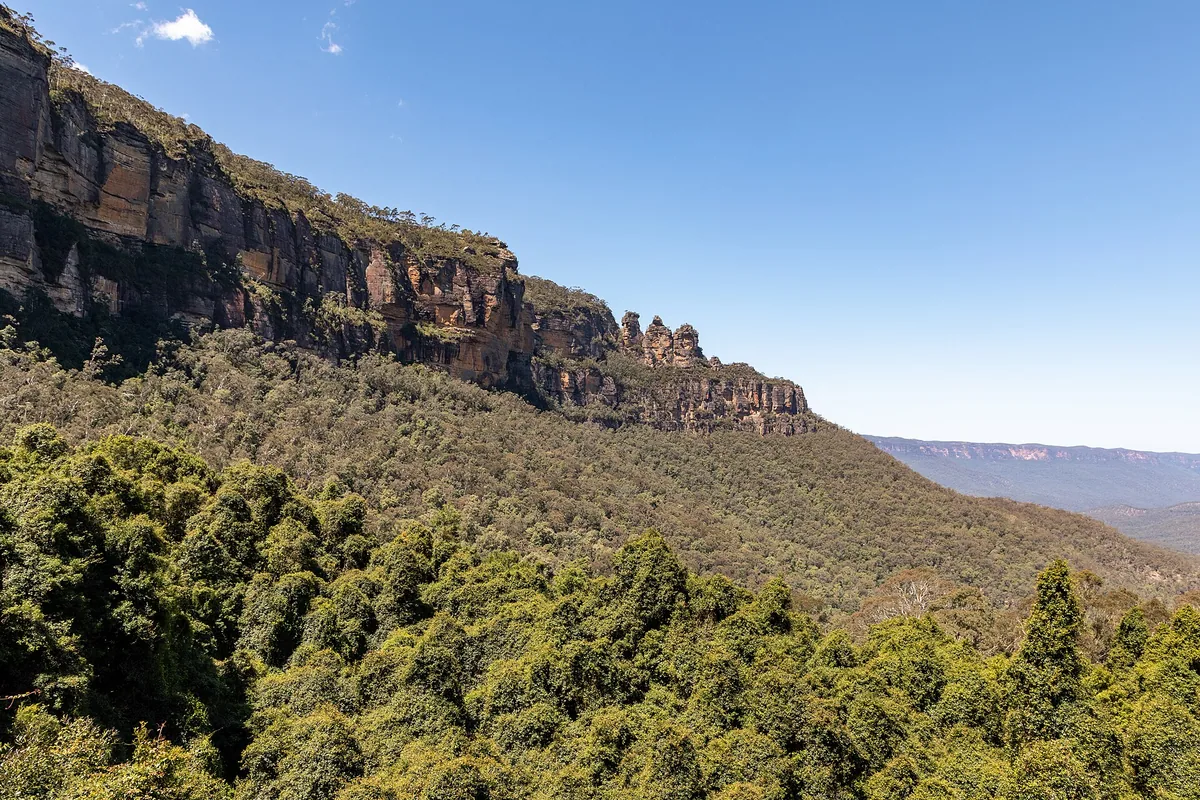

Pick one useful day-trip shape
| Base area | What it can support | Planning consequence |
|---|---|---|
| Katoomba / Echo Point | Three Sisters precinct, lookouts and connections to established visitor sites | Katoomba Station is not at Echo Point; plan the final bus, walk or other transfer |
| Wentworth Falls | Town-and-track day with multiple possible walking commitments | Select only a currently open route whose grade and return fit the group |
| Leura | Town-based visit with nearby viewpoints or short outings | Do not assume every lookout begins at the station |
| Blackheath | Upper-mountain scenery and walking areas | More dispersed endpoints make local transport or a car plan important |
| Scenic World area | A paid attraction with its own live operating and access information | Check Scenic World’s current visitor information rather than treating it as a guaranteed substitute for closed park tracks |
These are route categories, not a promise that a named track, attraction or transport connection is open. The NSW National Parks alerts and Transport for NSW planner decide what remains workable on the date.
Choose a place, not the whole region
Blue Mountains National Park spans multiple access areas and railway stations. NSW National Parks lists stations including Glenbrook, Woodford, Faulconbridge, Leura, Wentworth Falls, Katoomba and Blackheath on its visitor information page. That range is evidence that “the Blue Mountains” is not a single stop.
For a day trip, choose one town or walking area. Add a second only if live local transport and daylight make the connection uncomplicated. Moving between distant highlights can turn the day into a sequence of waits and short photo stops.
Check alerts before selecting a walk
Tracks and areas can close for fire, storm damage, maintenance or other safety reasons. The official local-alerts page takes priority over blogs, cached maps and saved social posts.
Review alerts when planning and again on the morning of travel. If the intended track is closed, use a clearly open alternative in the same area or postpone. Never pass a closure sign because an old itinerary describes the route.
Rail-based planning
Intercity trains connect Sydney with Blue Mountains stations. Use the Transport for NSW Trip Planner for the chosen date, including planned trackwork and the return service. A replacement bus changes luggage, accessibility and timing assumptions. Central Station or another stop on the intercity corridor can therefore be a more useful accommodation connection than a hotel marketed broadly as “central”; compare bases in the Sydney accommodation guide.
The station is not necessarily the trailhead. Measure the onward walk or local transport and check the return direction before leaving the platform. Keep a comfortable buffer before the last service you are willing to use.
Weather is part of the route
Conditions on the escarpment can differ from central Sydney. Cloud can remove distant views; heat, rain or wind can make an exposed walk unsuitable. Carry layers, water and sun or rain protection appropriate to the forecast and selected trail.
Low visibility does not make the region worthless, but it changes the sensible activity. Choose an established short walk, town-based cultural stop or another official open option rather than pursuing a viewpoint in unsafe conditions.
Driving does not remove constraints
A car can reach areas that are awkward by public transport, but parking, road incidents, fatigue and wildlife around dawn or dusk need consideration. Use official park directions and current NSW traffic information. Do not combine remote walks merely because a map shows a road between them.
If the driver has already spent a full day walking, plan the return before darkness and fatigue become the deciding factors.
A sound day structure
- Select one station or parking area and one primary walk.
- Check official alerts, track grade and facilities.
- Save one shorter nearby alternative.
- Carry water and weather protection; do not rely on facilities being available on a trail.
- Set the turnaround time before starting.
- Recheck the return service or road conditions.
When an overnight stay is better
Stay in the region rather than forcing a day trip if you want multiple separated walking areas, sunrise or sunset, a long hike, or recovery time between activities. An overnight plan introduces different accommodation and transport decisions; verify them directly rather than assuming a Sydney hotel remains the practical base. If it remains a day trip, avoid combining it with Featherdale simply because both lie west of central Sydney: each has its own transfer and enough content for a properly paced outing.
The goal is not to collect every famous lookout. It is to experience one part of the landscape with enough margin to respond safely when the mountains change the plan.
Addresses and meeting points
Put the activity on the map
Use these points for orientation. Your dated ticket or operator confirmation takes priority if it names a different entrance, wharf or meeting point.
Echo Point lookout
Echo Point RoadNSW 2780 KatoombaAustraliaA mapped reference for the Three Sisters precinct; Katoomba Station is not at the lookout, so plan the final connection.