Transport
Getting around Sydney without fighting the map
Sydney's public transport modes work as a connected network, but a good route depends on the harbour, interchange details, service alerts and the final walk at each end.
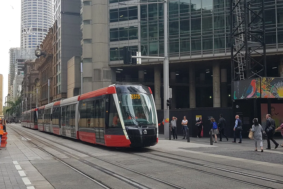

Match the activity to its real transport endpoint
| Activity | Useful public-transport endpoint | The easily missed leg |
|---|---|---|
| Opera House tour | Circular Quay train or light rail | Walk to Bennelong Point, then find the product’s Welcome Centre or Stage Door meeting point |
| BridgeClimb | Circular Quay or Wynyard, depending on the route | Uphill approach to 3 Cumberland Street and time for check-in |
| Luna Park | Milsons Point Station or Milsons Point Wharf | Station return is uphill; ferry usefulness depends on the live timetable |
| Featherdale | Blacktown Station | Transfer to bus 729 and verify the return stop direction |
| Bondi coastal walk | Bondi Beach, Bronte or Coogee bus stop | Bondi Junction is not Bondi Beach; choose the exit before walking |
| Blue Mountains day | The chosen intercity station | Local bus, walk or other transfer from station to the intended lookout or trail |
Save the street address as well as the attraction name. A trip result to the wrong side of a large precinct can erase a tight check-in buffer.
Think in corridors
Central Sydney is walkable in sections, but water, hills and long suburban distances make straight-line maps misleading. Plan around transport corridors: the north-south spine through the CBD, Circular Quay as a harbour interchange, eastern-suburb links toward Bondi Junction and western rail connections toward places such as Blacktown and the Blue Mountains.
The Transport for NSW Trip Planner is the source of truth for a particular journey. It combines metro, train, bus, ferry and light rail and reflects planned work or service changes more reliably than a static article can.
Paying for travel
Sydney’s network supports Opal and eligible contactless cards or devices. The important habit is consistency: tap on and tap off with the same physical card or the same device. A phone wallet and the plastic card linked to it may be treated as different payment methods. Each traveller needs a separate card or device; one payment method cannot be passed along the group at the same gate.
Rules, concessions and caps can change. Review the official contactless payment guidance instead of relying on a remembered fare figure. Travellers who need a concession should verify eligibility and setup before arrival.
Airport to the city
Train stations sit beneath Sydney’s domestic and international terminals, and the airport stations charge an access fee in addition to the rail fare. Transport for NSW lists train, bus and taxi options on its current Sydney Airport transport page. Search the exact terminal station and hotel address: “Sydney Airport” is not one platform, and a CBD arrival can still require a final light-rail, bus or walking leg.
Do not select accommodation on the assumption that every central address is equally convenient with luggage. Check the walk from the destination station, whether the most useful exit has a lift and whether the route is comfortable at the expected arrival time.
Ferries: useful, scenic and conditional
Ferries can turn a transfer into a harbour experience. Milsons Point, Manly and other waterfront destinations can fit naturally into a ferry-led day. They are still public transport: timetables, wharf access and weather disruption matter. Check the live planner shortly before leaving, and know the rail or bus alternative when a fixed booking follows. Public ferries, narrated cruises, tall ships, jet boats and kayaks use different ticketing and departure points; the harbour tours comparison separates them.
At Circular Quay, allow time to identify the correct wharf. A beautiful route does not compensate for a missed timed entry.
Metro, train and light rail
Use metro and train for longer cross-city movement; use light rail where its corridor aligns with the destination rather than simply because it is visible at street level. At large interchanges, the transfer inside the station can take longer than the vehicle wait shown in an app.
Late-evening and weekend plans need a return check. Planned trackwork may replace trains with buses or change platforms. Look at Transport for NSW alerts on the same day, not only when constructing the itinerary weeks earlier.
Buses and the final kilometre
Buses often solve the last section to beaches and suburban attractions. Traffic can make their timing less predictable, so avoid a tight bus-to-ticket connection. At crowded stops, confirm the route number and direction before boarding.
Walking remains part of almost every trip. Sydney includes steep streets, stairs and exposed waterfront sections. A route labelled as a short walk may not be a comfortable one with luggage, a pram or limited mobility.
Accessible journeys
The official planner can filter for accessible services, but an accessible vehicle alone does not guarantee a seamless journey. Check station lifts, interchange paths, wharf gradients and the destination entrance. Transport for NSW maintains current accessible travel guidance.
Before each travel day
- Re-run the first and last journey in the live planner.
- Check alerts and lift availability.
- Use one payment card or device consistently.
- Allow a buffer before fixed tours or performances.
- Save the address, not only the attraction name.
- Carry a land-based alternative for an essential ferry connection.
The network is part of seeing Sydney. Treating it as a planning layer, rather than an obstacle between attractions, produces calmer routes.
Addresses and meeting points
Put the activity on the map
Use these points for orientation. Your dated ticket or operator confirmation takes priority if it names a different entrance, wharf or meeting point.
Circular Quay transport interchange
Alfred StreetNSW 2000 SydneyAustraliaTrain, light rail, bus and ferry stops are close but not the same platform; follow the live result to the exact wharf or stop.